
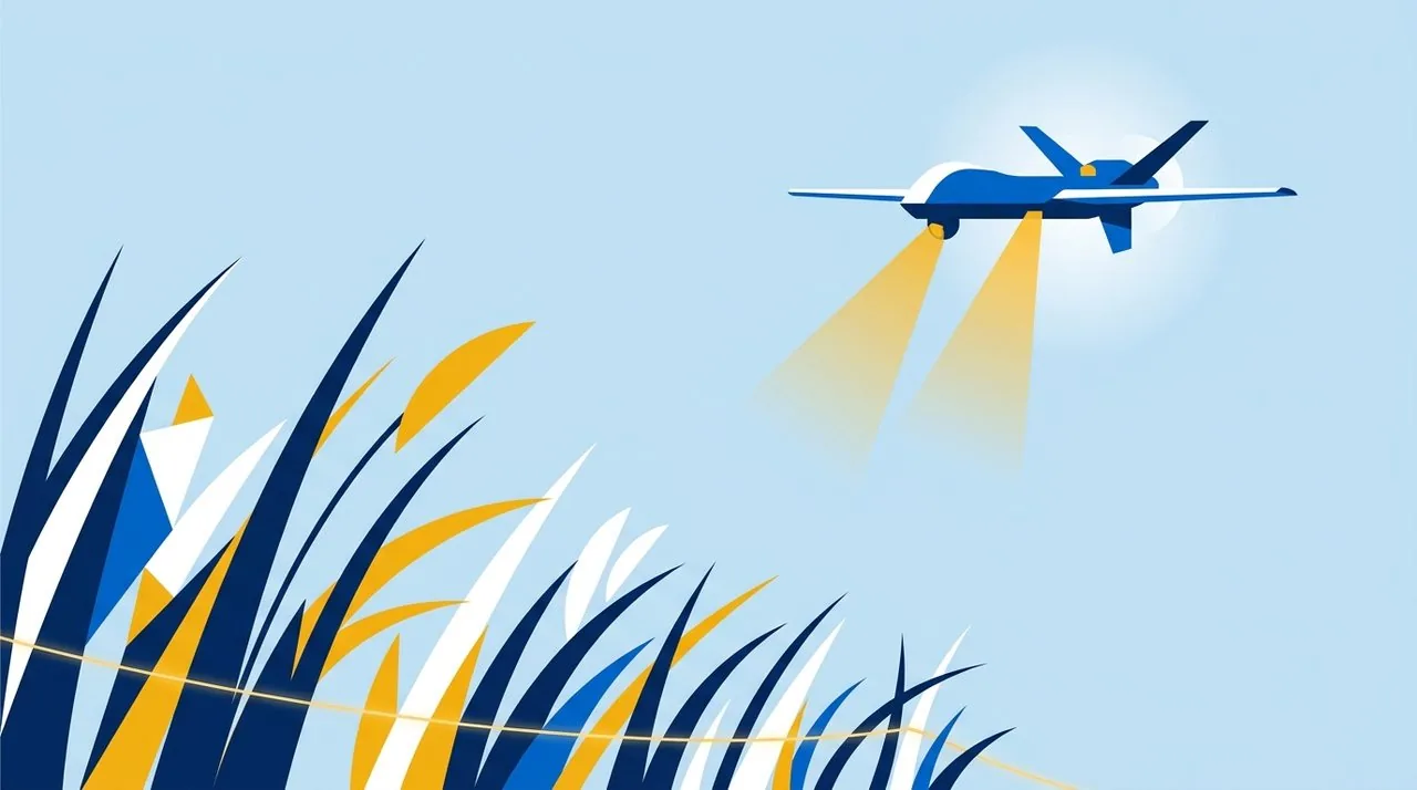
The rapid growth of spring vegetation catastrophically reduces the visibility of explosive ordnance in de-occupied territories.
April traditionally transforms the landscape of Ukrainian regions affected by hostilities. Along with warming temperatures and heavy rains comes the rapid growth of grass cover, shrubs, and underbrush. This natural process creates a serious challenge for humanitarian demining and the safety of the local population, as the green backdrop perfectly conceals the remnants of war. Even areas that seemed relatively clear for visual inspection just a few weeks ago quickly turn into high-risk zones.
What stood out clearly against bare soil, withered grass, or snow in winter or early spring now becomes completely invisible. Thin tripwires, often made of Kevlar or dark wire, are entirely lost among the green stems. Unexploded cluster submunitions, pressure-activated anti-personnel mines, and sharp shell fragments blend into the uneven terrain, which becomes densely covered with fresh vegetation.
The greatest threat comes not only from deep forests, where civilian access is mostly restricted by official bans, but also from entirely everyday locations. The shoulders of dirt roads that people use as shortcuts, riverbanks where families go to relax, agricultural lands, and livestock pastures—all these areas become potential traps in the spring. An additional risk factor is the psychological fatigue of the population: with the onset of warm weather, people increasingly ignore warning signs, trying to return to their normal way of life, cultivate their land, or graze their domestic animals.
Seasonal Dynamics of the Mine Threat
Bare Soil and First Shoots
After the snow melts, explosive ordnance is easiest to identify visually. However, waterlogged soil complicates the work of sappers and equipment, while local residents begin actively moving between settlements via field roads. It is during this time that sapper teams try to conduct the maximum number of visual inspections before nature takes its course.
Aggressive Masking by Vegetation
The grass grows to 15–30 centimeters, completely hiding small elements such as butterfly mines and tripwire initiation mechanisms. During this period, the risk of accidental detonation among civilians increases significantly. The green carpet masks not only the explosive devices themselves but also the signs of their placement: soil subsidence, packaging remnants, or disturbed turf.
Formation of Dense Cover
Vegetation reaches its maximum density, with bushes and undergrowth restricting passability. Traditional methods of non-technical survey become less effective. Tall grass creates physical obstacles for the movement of specialists, requiring the use of specialized equipment for remote analysis and slowing down the pace of humanitarian demining.
Technological Response to Natural Challenges
The change of season and the rapid deterioration of visibility demand an immediate adaptation of approaches to threat detection. When the human eye is no longer able to discern danger in the thick grass, and every step on unchecked territory carries a deadly risk, remote sensing technologies come to the rescue. Aerial monitoring allows for the safe and efficient surveying of large areas, recording terrain anomalies, traces of mining, and remnants of ammunition before they are completely swallowed by nature.
The use of unmanned systems significantly reduces the risks for mine action specialists. Drones are capable not only of transmitting high-resolution video but also of creating accurate orthomosaics of the terrain, allowing for detailed surface analysis without the physical presence of a person in the hazardous area.
In addition to the direct search for explosive ordnance, the systematic updating of information about potentially hazardous areas becomes critically important. According to experts, the boundaries of contaminated zones can change not only due to the human factor but also through natural processes. For example, spring floods, soil erosion, and landslides can move mines significant distances from their original locations, creating new threats where they were not previously recorded. Therefore, continuous monitoring of spatial data is the key to community safety.
The Yellow-Blue Foundation is actively responding to the spring escalation of the mine threat. Using unmanned aerial vehicles, our teams conduct regular reconnaissance of overgrown areas in de-occupied communities. The data collected from the air allows us to promptly update the mine threat georegistry, providing accurate information about changing landscape risks to both local residents and mine action operators.
Reliable and up-to-date information remains the primary tool for protecting the civilian population in conditions of prolonged territorial contamination. As long as the complex process of clearing Ukrainian lands continues, a deep understanding of seasonal risks and strict adherence to mine safety rules save lives every day.
Communities returning to de-occupied territories must have access to accurate environmental data. Nature continues its cycle of recovery, hiding the scars of conflict under thick greenery. The shared task of the humanitarian sector is to counter this invisible threat through technology, systematic work, and constant information sharing, so that Ukrainian fields, forests, and roads can once again become safe spaces.